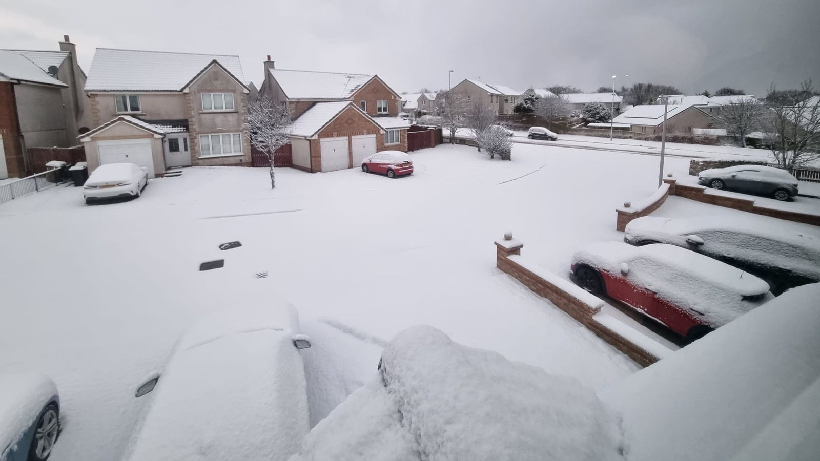
Autumn is settling in with a turbulent start to September. From Wednesday, wind and rain are expected to sweep in from the Atlantic, bringing cooler conditions and the possibility of thunderstorms. The unsettled pattern looks set to continue into the weekend, with forecasters watching for deeper areas of low pressure forming in the North Atlantic over the coming days.
It’s still too soon to say exactly how those systems might develop or whether any could intensify into a named storm. Should one emerge, it would be the season’s first and given the name “Storm Amy.”
A key factor this week is the jet stream, a powerful current of air high in the atmosphere, which is dipping south of the UK and strengthening. This shift is helping low pressure systems travel east, carrying wet and windy conditions across the country.
For much of spring and summer, the jet stream had been positioned farther north, keeping many of the rain-bearing fronts away. But with the seasonal change underway, that block has broken down, allowing Atlantic systems to move in more freely something that is typical as summer gives way to autumn.

What does the long-term outlook suggest?
Looking further into the autumn months, most forecasting models point to a higher likelihood of wetter-than-average conditions across the UK between September and November. Still, seasonal forecasts carry a lot of uncertainty, so these should be viewed as broad trends rather than precise predictions.
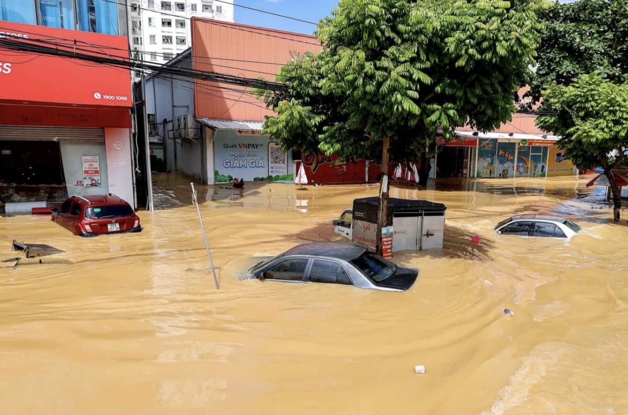
It seems unlikely that we’ll see a repeat of September 2024, when parts of England were deluged with record-breaking rainfall. Ten counties, including Bedfordshire, Buckinghamshire, and Wiltshire, endured more than triple their usual September totals, which triggered widespread flooding.

Could the rainfall ease drought conditions?
So far this year, the UK has seen its sunniest spring and hottest summer on record—both of which were also exceptionally dry. Many areas of England and Wales remain under hosepipe bans, with drought officially declared. From January to August, the UK had received only 44% of its expected annual rainfall, compared with the long-term average of 67% by this point in the year. To return to “normal” levels by year’s end, rainfall totals from September to December would need to reach around 141% of the monthly average—an extremely wet spell.
While this week’s rainfall is a step in the right direction, helping to boost soil moisture and river levels, full recovery will take much longer. Reservoirs and aquifers respond slowly, as water must filter down through soil and bedrock before replenishing deeper stores. The Met Office has stressed that sustained rainfall over autumn and winter will be essential to rebuild water resources in some regions.
As the climate warms, scientists expect the UK to face wetter, milder winters alongside hotter, drier summers. Rainfall is becoming more unevenly distributed, and while climate change is altering weather patterns, the relationship between global warming, drought, and water scarcity is complex, shaped not just by natural processes but also by how society uses and manages its resources.